Geschäftsfeld
Geoinformatics & 3D modelling
Complex spatial relationships often only become clearly interpretable through interactive 3D models and map visualisations. We specialise in the acquisition and processing of spatial data. We would be happy to provide you with our own tools.
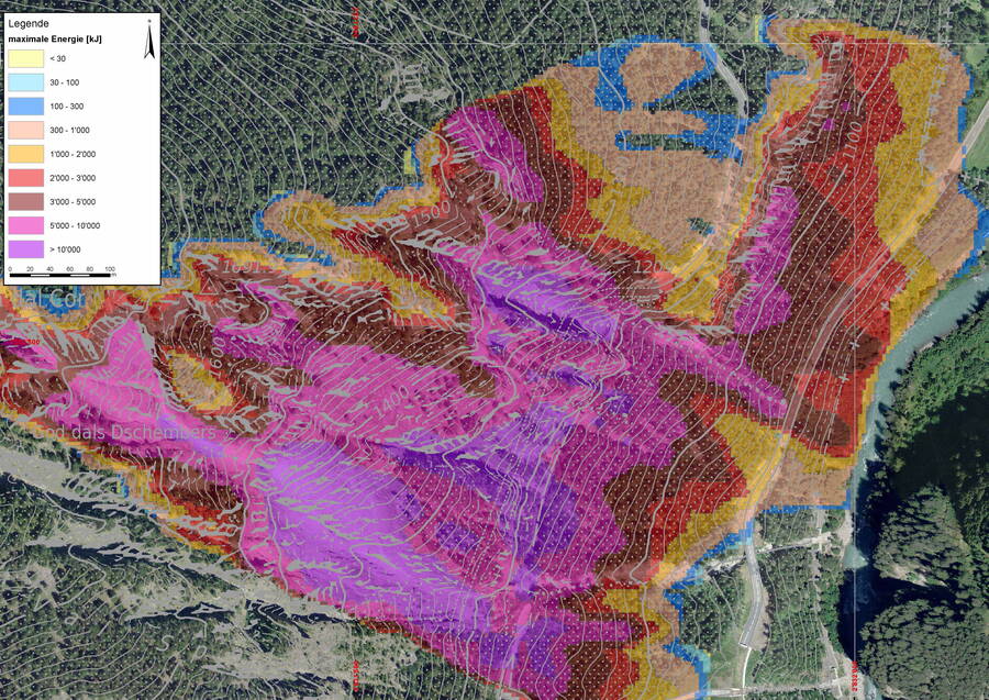
The goal of geoinformatics is the analysis and visualisation of spatial and temporal relationships. This can apply to past events but also to those in the future, in the form of simulations that help to estimate the consequences of a future event. In this way, the decisive dependencies existing below ground, on the earth’s surface and in above-ground structures can be uncovered.
Software by GEOTEST
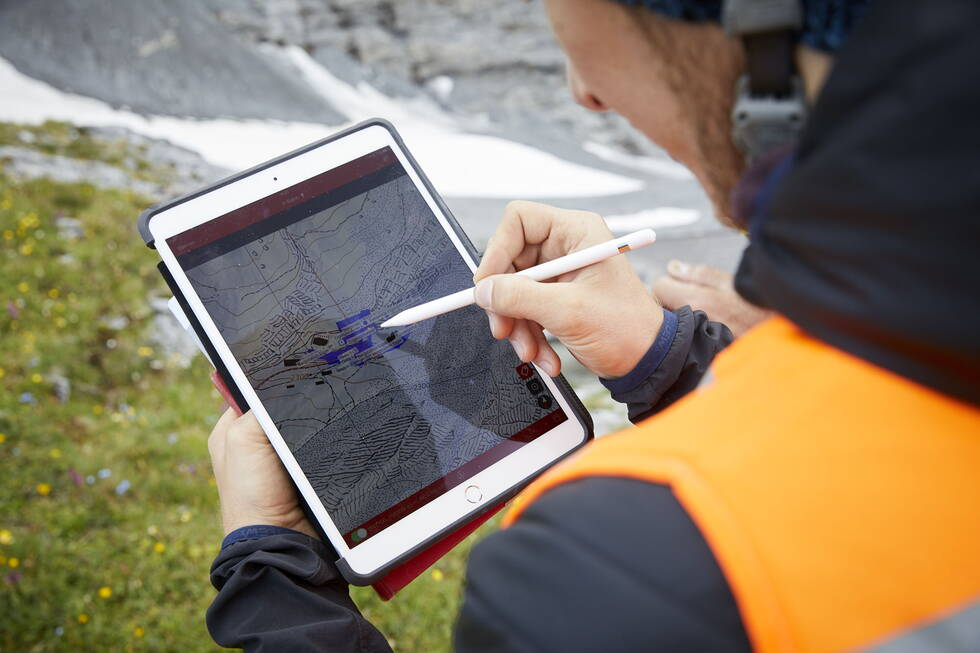
We use tools developed at GEOTEST for our own projects while also making them available to our customers. We program customised solutions as local, web-based or mobile applications, depending on your requirements. Additionally, we offer tools that enable direct retrieval, recording and editing of data. In this way, you can keep an overview of your project at all times.
Do you need a 3D or BIM model, a complex simulation, or a completely customised software for a specific project with spatial data? We offer the ideal solution.

Developed by us:
The digital field book for professionals on the move. For simple localisation and standardised recording of data.
Digital property management: keep an eye on the condition of your property.
Rockfall modelling based on 2D profiles – as a basis for sound action planning.


