competencies
Geoinformatics
Spatial data are a key building block of successful projects today. With our expertise in geoinformatics, we combine geospatial data, digital workflows and modern technologies to deliver practical, real-world solutions. We support you in the collection, management, analysis and visualization of geospatial data—from the field to informed decision-making.
Turning Data into Decisions
Geospatial data forms the foundation for planning, operating and monitoring infrastructure, environmental and natural hazard projects. To unlock its full potential, spatial information must be systematically collected, intelligently managed and clearly visualized.
We support you throughout the entire data lifecycle—from digital field data collection and geospatial data management to GIS applications, web-based solutions and custom software development.
Whether you need to manage individual datasets, build complex data platforms or streamline digital workflows, we deliver practical, reliable solutions that create lasting value.
Looking to make better use of your geospatial data? We'd be happy to advise you.
Our Services
Geospatial Data Management
We structure, organize and manage geospatial data throughout its entire lifecycle.
Design and maintenance of geospatial databases
Data migration and data harmonization
Data quality assurance and data management
Integration and interfaces between specialized applications
Data provisioning for internal and external users
GIS and Spatial Analysis
We analyze, integrate and visualize geospatial information to help you make informed decisions.
GIS consulting and project support
Geospatial data analysis
Maps and web maps
Automated spatial analysis and reporting
Spatial decision support
Digital Field Data Collection with GI-ANT
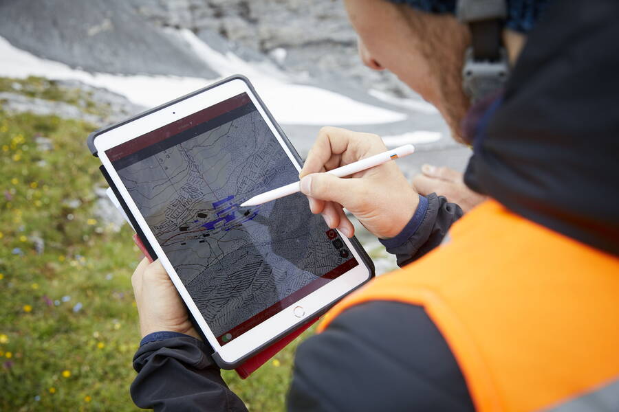
With GI-ANT, field teams can capture data directly on site—using mobile devices, standardized workflows and georeferenced records.
Mobile data collection on smartphones and tablets
Online and offline operation
Photo, measurement and documentation features
Direct synchronization with databases and GIS
Custom forms and workflows
This ensures that information flows seamlessly from the field directly into your systems—without manual transfers or media breaks.
Custom Software Solutions
Standard software does not always meet every requirement. That's why we develop tailor-made applications for geospatial workflows and processes.
Web applications
Mobile apps
Data portals
Dashboards and analytics platforms
Automated data processing
Our solutions integrate seamlessly into your existing IT landscape.
GIS, BIM and Digital Models
Geospatial data is becoming an integral part of digital planning and asset management processes. We integrate GIS, CAD and BIM data to create a consistent foundation for efficient digital project delivery.
GeoBIM
IFC data integration
3D web viewers
Data preparation for BIM workflows
Integration of domain-specific and geospatial data
Why choose GEOTEST?
- Geoinformatics combined with expertise in geology, natural hazards, environmental sciences and water resources.
- Proven solutions from real-world projects.
- In-house software development and digital tools.
- Interdisciplinary teams of GIS, data and domain experts.
- From strategy to implementation – all from a single source.
Make the Most of Your Geospatial Data
Looking to collect, manage, analyze or make your geospatial data digitally accessible?
Get in touch for a no-obligation consultation. Together, we'll develop the right geoinformatics solution for your project.
Developed by Us
Our field data capture solution: making data collection and management simple.
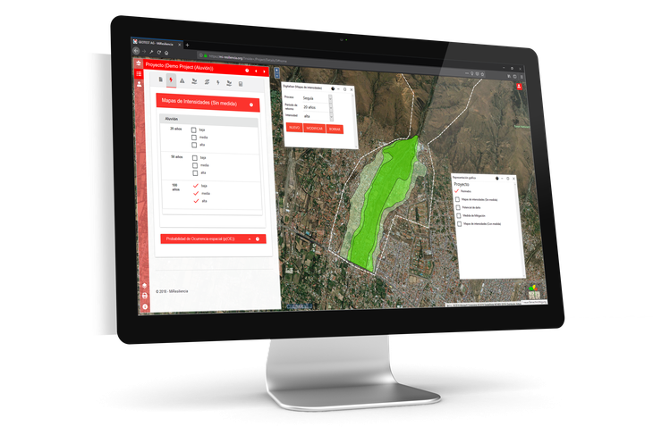
GEOTEST structures, organises and manages your data assets.
Simulation of rockfall processes on 2D terrain profiles, providing a sound basis for the planning and design of mitigation measures.