Business Field
Geoinformatics + 3D Modelling
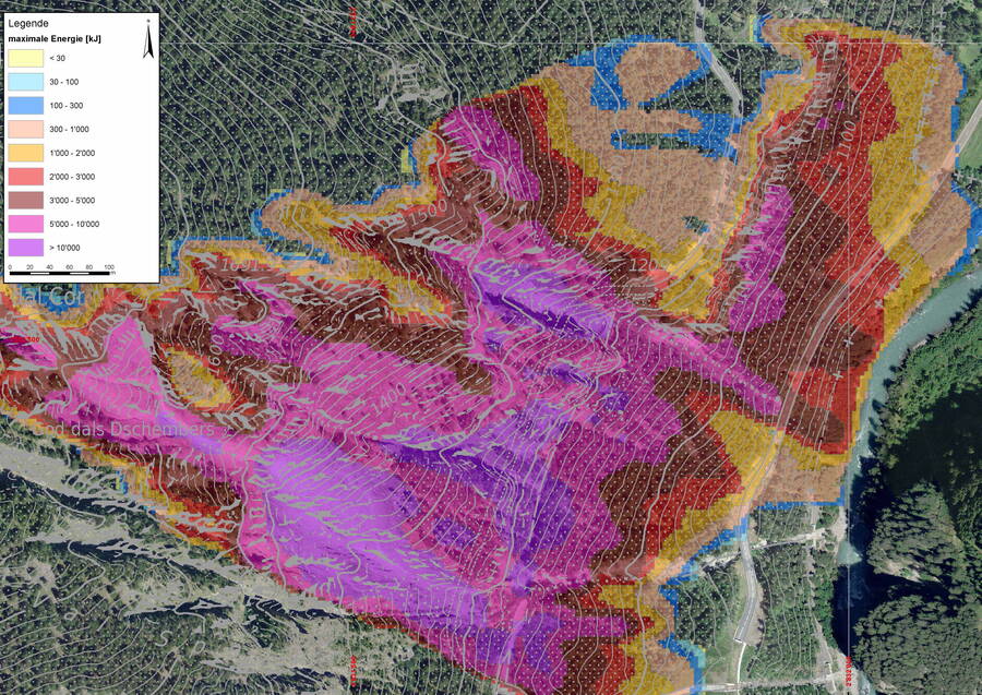
Geoinformatics reveals spatial and temporal relationships. Through the analysis, visualisation and simulation of geospatial data, GEOTEST provides a sound basis for decision-making for projects in the subsurface, at the ground surface and within engineering structures. We acquire, process and analyse spatial data and develop the appropriate tools and tailor-made solutions for these tasks.
Making complex relationships easy to understand
Many challenges can only be fully understood when viewed in their spatial context. Geoinformatics and 3D modelling help connect data, visualise processes and support well-founded decision-making.
We acquire, analyse and visualise spatial information—from individual field surveys to complex digital project platforms. By combining geospatial data, domain expertise and modern technologies, we deliver practical solutions tailored to real-world applications.
Whether GIS, 3D models, GeoBIM integration or bespoke software development, we support the digital transformation of your projects.
Our Areas of Expertise
GIS and Geospatial Data
Spatial data form the foundation of many projects.
Cartography and visualisation
Geospatial databases
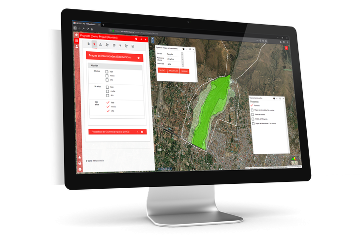
WebGIS solutions
3D Modelling and Visualisation
Three-dimensional models provide transparency for complex spatial and geological challenges.
Geological 3D models
Subsurface models
Digital terrain models
3D visualisation of spatial data
Interactive visualisations and web viewers
3D models help identify relationships more quickly and communicate projects more effectively.
GeoBIM and Digital Planning
We integrate geospatial data with digital building and infrastructure models.
BIM coordination
GeoBIM solutions
IFC data integration
Integration of GIS and BIM data
Digital project foundations
This creates consistent information models throughout the entire project lifecycle.
Digital Field Data Capture with GI-ANT
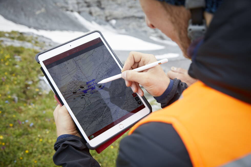
With GI-ANT, field teams capture data directly on site and seamlessly integrate it into digital workflows.
Mobile data capture
Location-based documentation
Standardised workflows
Direct data integration
Real-time data availability
Custom Software Development
Where standard software reaches its limits, we develop solutions tailored to your specific requirements.
Web portals
Mobile applications
Data platforms
Domain-specific tools
Automated workflows
From concept through implementation to operation, we provide everything from a single source.
Your Benefits
- Reliable decision-making based on high-quality data
- Improved data quality
- More efficient workflows
- Reduced data duplication and manual transfer
- Clear visualisation of complex spatial relationships
- Future-proof digital solutions
Unlock the Value of Your Spatial Data
Do you need a GIS, a 3D geological model, a digital field data capture solution or bespoke software?
Talk to our geoinformatics specialists.
Together, we will develop the right solution for your project.
Developed by Us
The new field data capture solution: making data collection and management simple.
GEOTEST structures, organises and manages your data assets.
Digital property asset management: monitor the condition of your real estate assets.
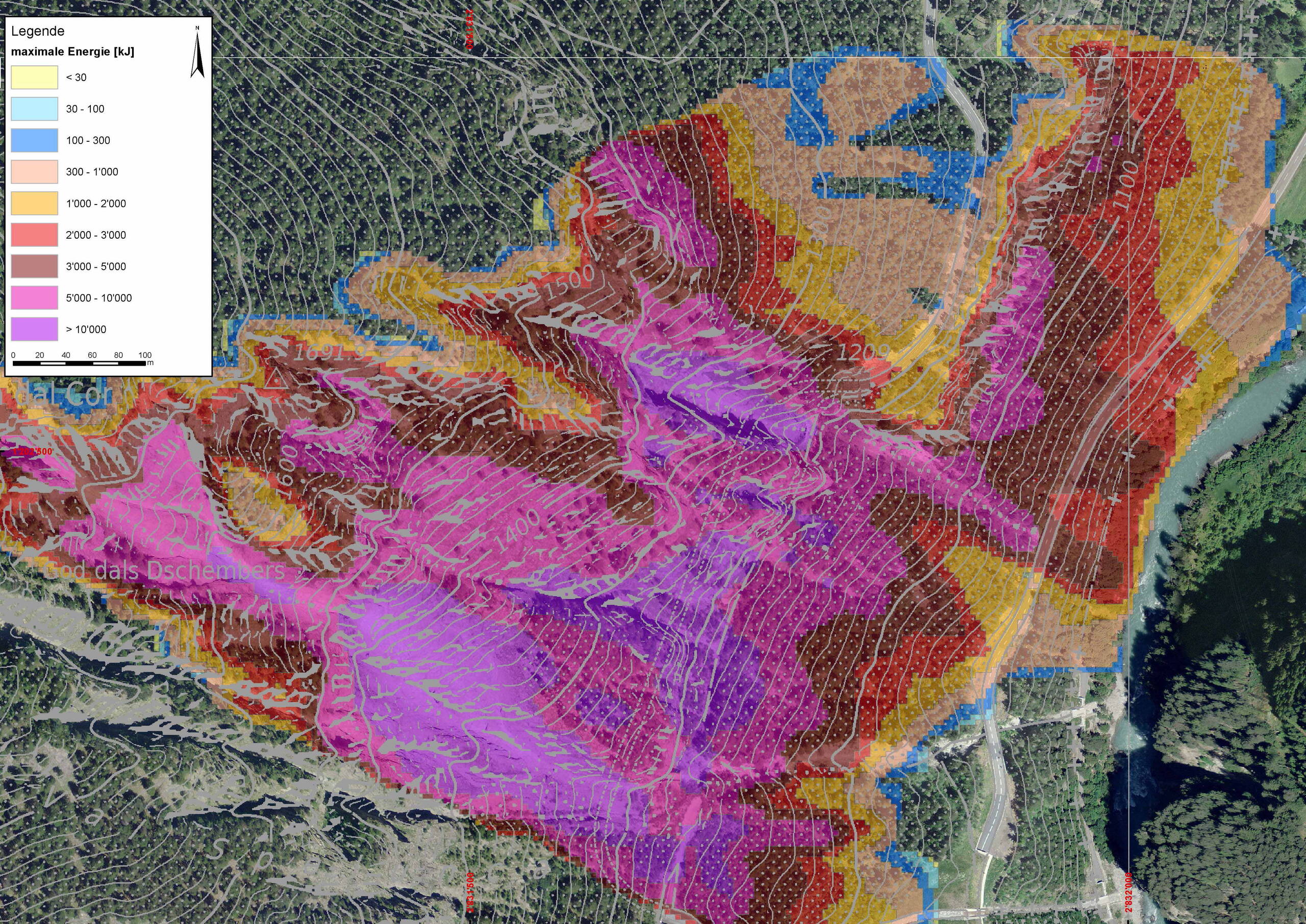
Simulation of rockfall processes on 2D terrain profiles, providing a sound basis for the planning and design of mitigation measures.