From –1,500 to 3,818.4 m a.s.l. – a journey through risk
Excursion day: visit to the Riburg salt works of Swiss Saltworks AG, exploration of the Gruhalde clay quarry of “Tonwerke Keller AG”, and lively exchanges
The first day focused on direct observation of geological processes, salt extraction, and the geology of boreholes. In windy but sunny weather, the excursion covered different stages of salt production and rock extraction – from the formation of clastic, biogenic, and evaporitic sedimentary rocks through to their industrial use.
The visits were guided by Dr. Johannes Pietsch, Head of Geology at Swiss Saltworks AG, as well as Moira Arnet and Felix Bussmann from GEOTEST Basel. Thanks to their complementary professional perspectives, the content was conveyed in a varied and highly hands-on way.

On the site of the Schweizer Salinen, we learned how salt is produced in Switzerland.

In this former historic drilling building, now decommissioned, a borehole was drilled to a depth of 194.7 metres. Between 1920 and 1963, approximately 225,000 tonnes of salt were extracted in total.

Felix Bussmann, site manager of GEOTEST in Basel, explained how geological knowledge, exploratory drilling, and risk assessments contribute to the long-term security of salt supply.

Here you can see a borehole equipped with a still operational extraction pump, which was used to bring salt up from a depth of between 152 and 192 metres.
The morning began at the Riburg salt works (Rheinfelden AG) and continued at an active drilling site, where participants were able to discover salt extraction and production through solution mining. The dimensions of the salt domes and direct access to the infrastructure left a strong impression. Standing in the storage hall in front of the large salt mountain made the scale of production tangible. These impressions were complemented by explanations of solution mining operations, production boreholes, and the lifecycle of caverns – from planning through to closure.
, which are developed and controlled in a managed way.")
On site, it was explained how rock salt is dissolved through the injection of fresh water via boreholes. This process creates underground cavities filled with brine (caverns), which are developed and controlled in a managed way.
The visit to the drilling site then provided a concrete, hands-on insight into the technical implementation of salt extraction. Topics such as drilling techniques, casing schemes, and geological conditions were explained directly on site, making the theoretical foundations highly tangible.

Drill cores from the Riburg salt works.

In the background, a drilling operation is underway, while Moira Arnet explains the different steps and processes involved to the interested group.
The afternoon continued at the Gruhalde clay quarry (Frick AG), where the geology of the Tabular Jura and the sedimentary conditions from the Keuper to the Lias could be observed in the field. The link between regional geology, resource exploitation, and landscape evolution could be directly experienced and provided many opportunities for discussion and questions.

Whether searching for fossils, examining the different geological layers, or enjoying the sun while sharing a convivial moment, everyone found something of value.
Beyond the technical content, it was above all the atmosphere that defined the day. Employees from all seven sites took part, leading to numerous exchanges and technical discussions. Interactions took place across sites and, at times, across disciplines—an aspect that significantly enhanced the value of the training. The open atmosphere and the time spent in the field fostered both informal knowledge transfer and personal networking.

The GEOTEST geologists, naturally equipped with a hammer and chisel, found fossils in a very short time.

Geology is a true passion, something that could be felt throughout the entire day, and especially in the clay quarry.

An excellent excursion that not only strengthened group cohesion but also offered many interesting insights and discoveries.
Seminar part: from –1,500 to 3,818.4 m a.s.l. – a journey through risk
The second day of the training focused on risk management and uncertainty in the field of geology and natural hazards. The emphasis was placed on how to identify, assess, and communicate risks transparently. It became clear that risks should not be considered in isolation, but always in relation to opportunities.

Solutions are found together – here during an activation game held at the start of the day.
The various presentations and practical examples showed how integrated risk management serves as a genuine decision-support tool. Technical uncertainties are not concealed but made visible and understandable. This transparency forms the basis for an open dialogue on risks with clients, authorities, and other stakeholders.
The subsequent presentations addressed the topic from different perspectives and illustrated, using concrete examples, how risks and uncertainties are assessed and communicated in practice.

All participants had prepared personal projects, which they analysed from a risk perspective and discussed in small groups.

The different perspectives led to lively discussions.
Florentin Ladner – Projects at the interface of engineering geology, geotechnics, and hydrogeology
Salt caverns offer strong potential for future energy storage. They can be used not only for gas or oil, but also for hydrogen, compressed air, or heat, thereby contributing to sustainable energy production.
A current example illustrates the possibilities of thermal storage in bedded salt, enabling the use of seasonal energy surpluses. However, these projects involve uncertainties: geological conditions, technical limitations, and environmental aspects such as groundwater protection must all be carefully assessed.
Monitoring existing caverns also highlights the risks: unstable structures can lead to collapses and affect groundwater. A holistic approach integrating geology, geotechnics, and hydrogeology is therefore essential in order to identify and manage risks at an early stage.
The subsurface offers significant opportunities, but it requires a deep understanding and interdisciplinary collaboration to ensure sustainable and safe solutions.

3D geological model illustrating the thickness of the salt deposit.
Nicolas Stork – Surface densification? Underground extraction of raw materials – a solution
Ensuring the supply of raw materials while meeting increasing environmental requirements represents a major challenge for the industry. In his presentation, Nicolas Stork showed how underground extraction constitutes an innovative and sustainable alternative to open-pit mining. Concrete projects illustrated how environmental impacts can be reduced while improving public acceptance.
Daniel Bieri – Safety concepts on mountain construction sites
Daniel Bieri’s presentation focused on the continuous development of safety concepts for fieldwork. Through clearly defined processes, systematic hazard identification, and practical measures, GEOTEST ensures the highest safety standards for its teams and all third parties involved.
Internal guidelines are combined with industry-specific requirements and modern tools. For GEOTEST’s clients, this means that projects are carried out not only on a solid technical basis, but also with the highest safety standards.
Kaspar Graf – Building in high mountain environments
Building in high mountain regions is much more than “construction under difficult conditions.” Extreme altitude, wind, cold, and complex logistics impose high demands on planning and execution. Construction sites are often difficult to access, space is limited, and work is sometimes carried out in operational areas.
This leads to increased safety requirements, reduced productivity, and significant challenges for all stakeholders. Through projects such as the Schilthorn cable car and the Glacier Ride at the Klein Matterhorn, it becomes clear how engineering geology expertise and innovative solutions help overcome these challenges.
Precise ground investigations, rigorous planning, and adapted execution are essential to ensure quality, safety, and cost-effectiveness. Even in high mountain environments, the technical fundamentals remain the same – it is the solutions adapted to the specific conditions (exposure, logistics, safety) that make the difference.

Using the example of a project for the Schilthorn cableways, Kaspar Graf showed how risks associated with a “living ground” can be minimised.
Conclusion
The 2026 Training Day clearly demonstrated the value of combining hands-on excursions, technical exchange, and theoretical deepening. The integration of field experience, practical work, and methodological development made it possible to address geological and natural hazard topics from multiple perspectives.
Beyond its technical value, exchange between sites was at the heart of the event. Meetings, discussions, and shared experiences strengthened networking within the company and promoted knowledge transfer across disciplines.
A central idea ran like a red thread throughout the training: transparency creates trust. Whether in risk communication, the management of uncertainties, or collaboration between specialists, understandable processes and open exchange form the basis for well-founded decisions and successful cooperation.
Thus, the circle of the “journey through risk” closed: from geological processes in the subsurface to risk assessment and communication, it became clear that uncertainties are an integral part of our work. The key is not to avoid them, but to understand them, make them transparent, and manage them responsibly together with all stakeholders.

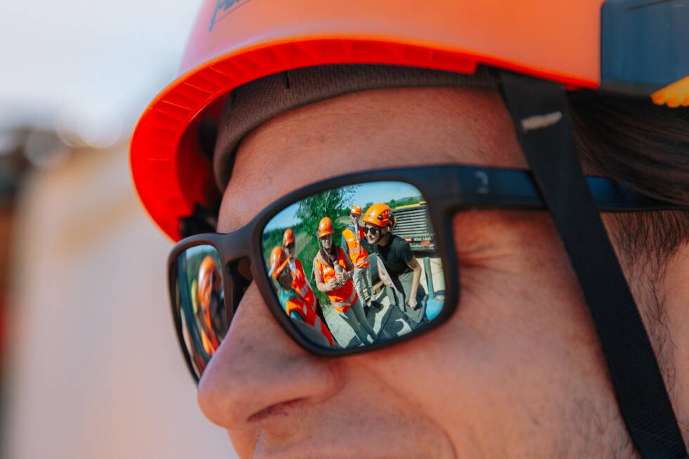
Group photo in front of an imposing salt mountain.